
From a few thousand feet up, a city loses its street signs and gains a shape. Rivers, harbors, grids, and green patches become the clues, and the skyline you know from the ground can nearly vanish.
This gallery works like a quiet quiz. Each entry describes a view from above and the features that give the city away, so you can test your eye before reading the answer.
1. A Grid Squeezed Between Two Rivers
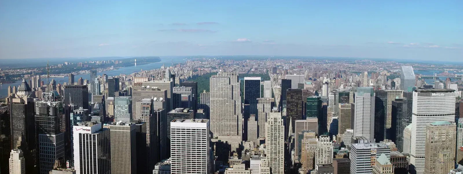
Picture a dense island with a rigid street grid, broken by one enormous rectangle of green near its middle. The island is long and narrow, and towers crowd its southern tip. Water wraps around it on both sides.
This is New York City, specifically Manhattan. Central Park covers about 843 acres, which is why it stands out so clearly from the air. The grid itself dates to the Commissioners’ Plan of 1811, which laid out most of the streets north of Houston Street.
2. A Ring of Avenues Around One Arch
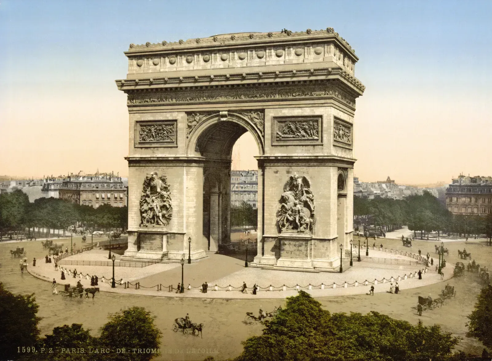
Look for a dozen broad avenues radiating from a single point like spokes on a wheel. At the center sits a huge monument, and the surrounding blocks are uniform, cream colored, and capped with gray roofs.
That’s Paris, with the Arc de Triomphe at the heart of Place Charles de Gaulle. The twelve avenues meeting there give the area its old nickname, l’Étoile, meaning the star. The even building heights come from the 19th century rebuilding led by Baron Haussmann.
3. Sand-Colored Islands Shaped Like Palms
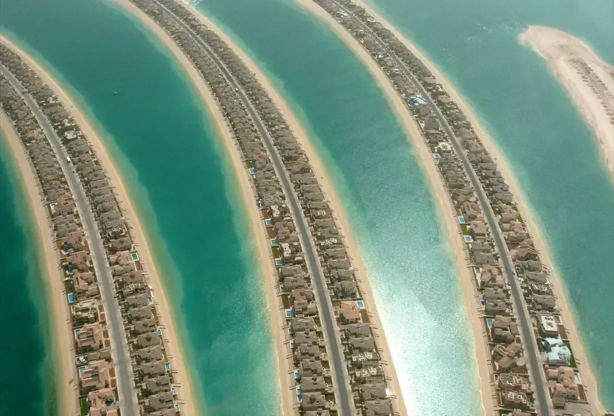
Some cityscapes announce themselves through artificial land. Here, a palm tree shape pushes out into turquoise water, with a crescent of land wrapped around it, and a pencil-thin tower rises on the mainland behind.
This is Dubai, home to Palm Jumeirah, a man-made island built in the early 2000s. The tower is the Burj Khalifa, which stands 828 meters tall and has held the title of the world’s tallest building since it opened in 2010. From above, the palm is visible even from space photography.
4. A Harbor Cut by White Sails
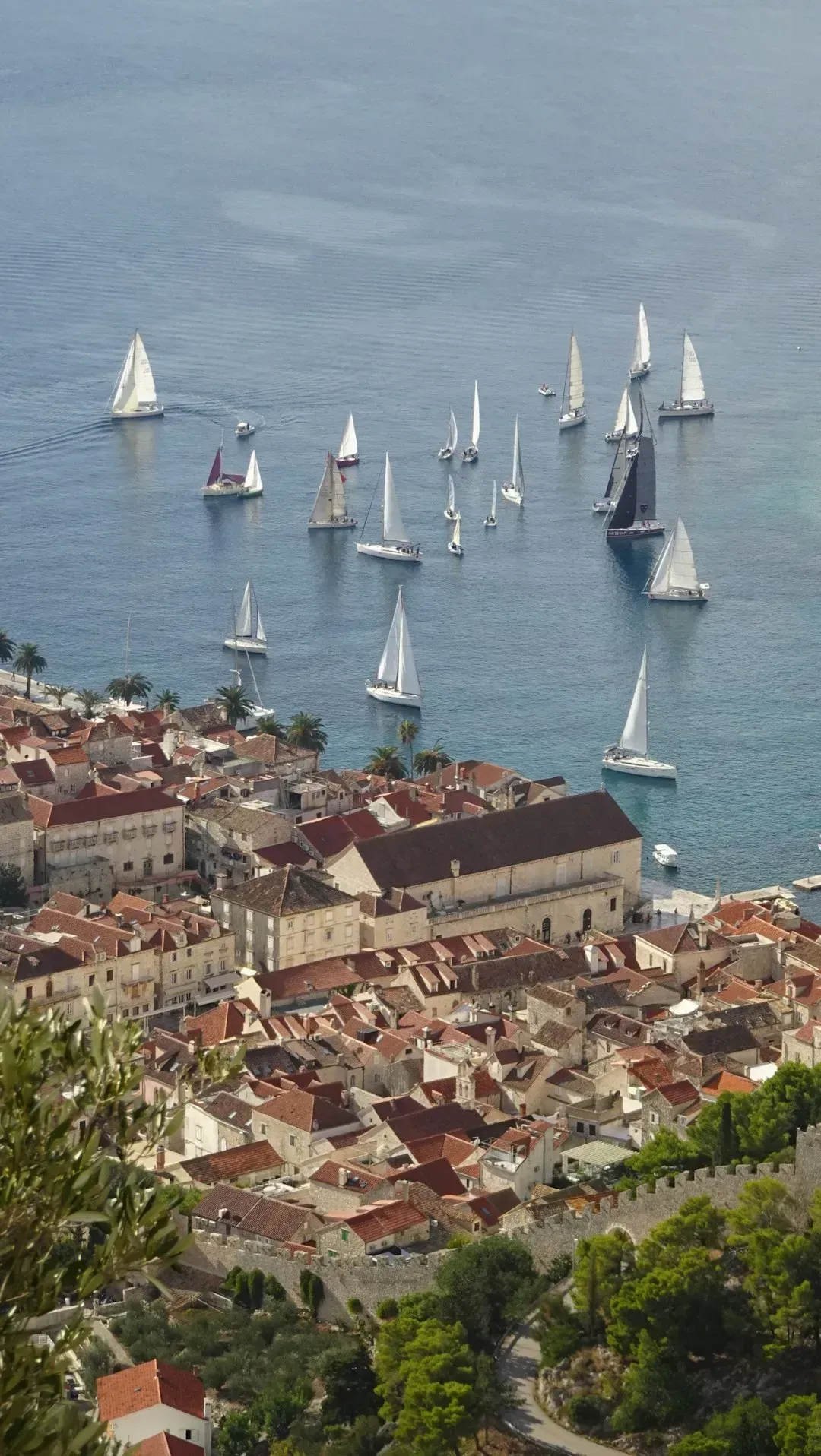
A deep, irregular harbor with fingers of water reaching into the land is your first hint. On one small peninsula sits a cluster of overlapping white shells, and a steel arch bridge spans the water just beside it.
This is Sydney. The shells belong to the Sydney Opera House, which was completed in 1973 and became a UNESCO World Heritage Site in 2007. The arch bridge is the Sydney Harbour Bridge, opened in 1932.
5. A Mountain Above a Curving Bay
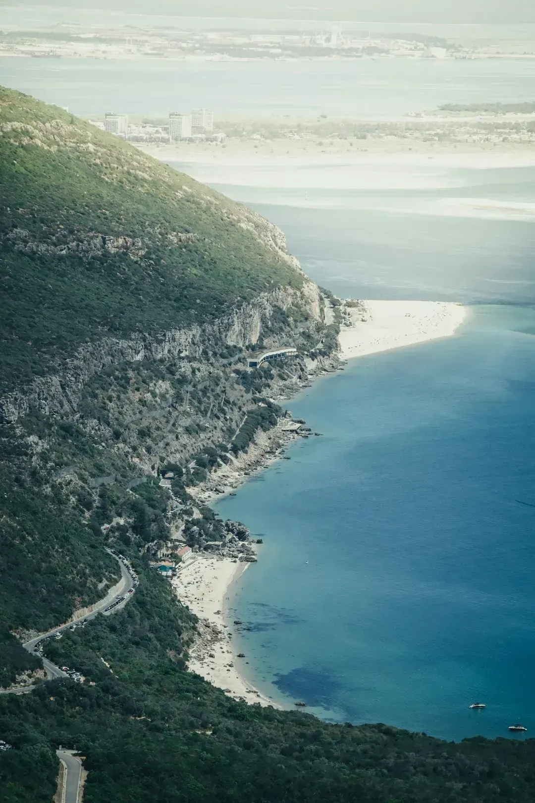
Here the landscape does most of the talking. A flat-topped mountain rises directly behind the city bowl, and the streets spread toward a bay with a long arc of coastline.
That’s Cape Town, with Table Mountain as its anchor. The mountain’s plateau stretches roughly three kilometers across, and it forms part of Table Mountain National Park. Robben Island sits offshore in Table Bay, often visible on clear days.
6. Canals Laid Out Like Rings
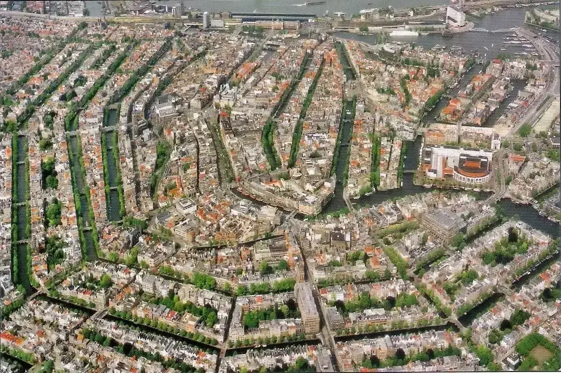
Concentric half circles of water curl around a historic center, crossed by smaller straight canals. Narrow brick houses line the banks, and boats seem to outnumber cars in the older districts.
This is Amsterdam, whose canal ring dates to the 17th century Golden Age. The Amsterdam Canal Ring area was inscribed as a UNESCO World Heritage Site in 2010. The layout was a deliberate expansion plan, not an accident of growth.
7. A Floating City of Lagoons and Alleys
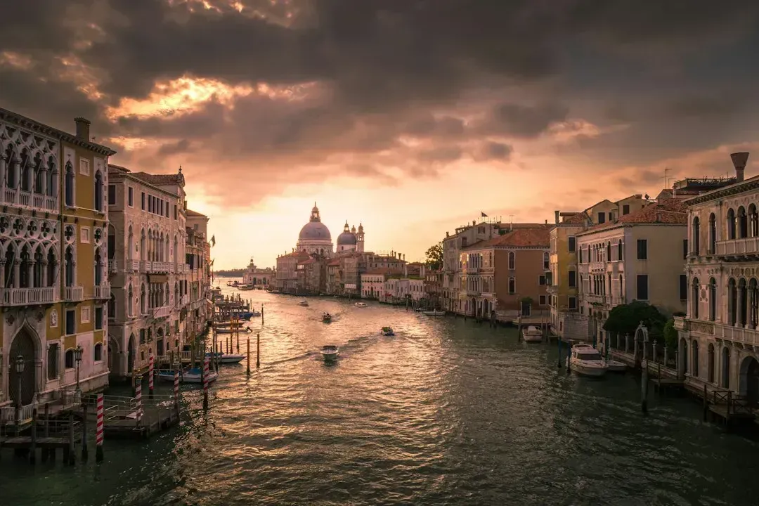
Seen from above, this place looks like a fish-shaped scatter of islands in a shallow lagoon. A reverse S-shaped canal winds through the middle, and there are almost no roads in the usual sense.
This is Venice, built across more than one hundred small islands in the Venetian Lagoon. The winding waterway is the Grand Canal, which runs roughly three and a half kilometers. A long causeway links the city to the mainland, which is how most visitors arrive by rail or car.
8. A Straight Line of Buildings Beside a Great Lake
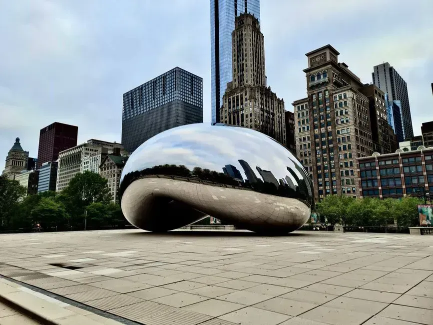
A crisp row of skyscrapers hugs a vast, flat body of water that looks more like an ocean. Behind them, a flat street grid runs to the horizon, and a long park-lined shoreline curves along the edge.
This is Chicago, sitting on the southwestern shore of Lake Michigan. The city’s famous skyline includes Willis Tower, which reaches 442 meters to its roof. Grant Park and Millennium Park sit between the towers and the lakefront.
9. A Star-Shaped Neighborhood Around a Wedge of Green
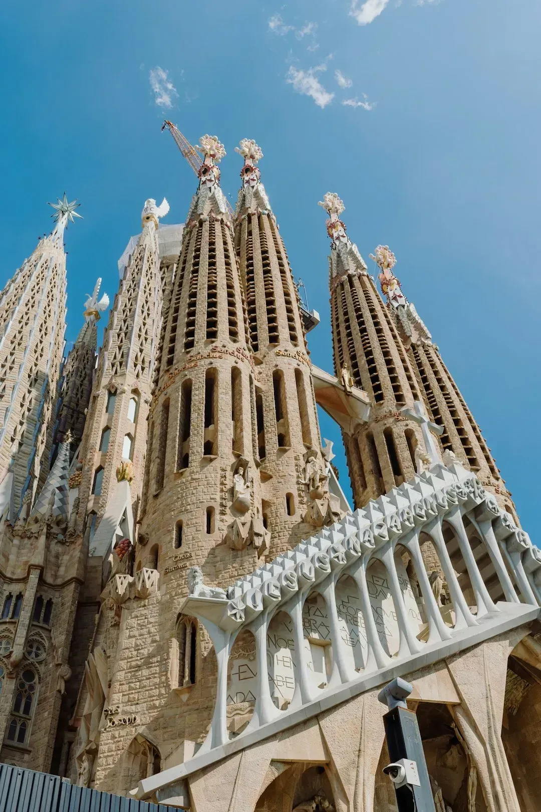
Here the clue is a plan that looks drawn with a ruler. A repeating pattern of octagonal blocks, each with chamfered corners, fills a large grid between mountains and the sea.
This is Barcelona and its Eixample district, designed by Ildefons Cerdà in the mid 19th century. The cut corners were meant to improve sunlight and traffic visibility at intersections. Gaudí’s Sagrada Família, still under construction, rises within the grid as an easy landmark.
10. A Capital Laid Out as a Plan on Paper
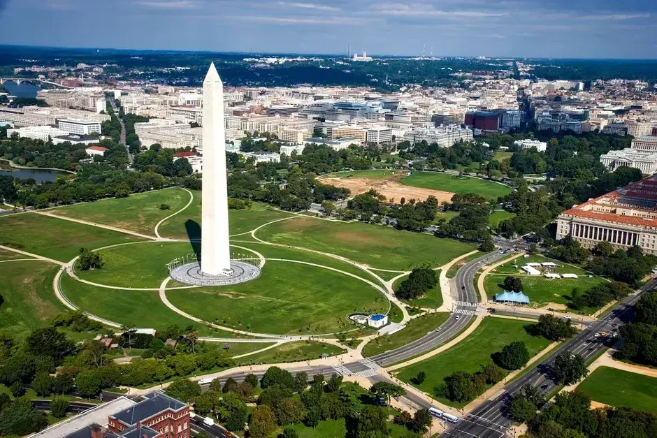
The final city shows an almost mathematical layout. A long central green strip is bracketed by monuments, and diagonal avenues cut across a regular street grid, converging on a domed building at one end.
This is Washington, D.C., designed in 1791 by Pierre Charles L’Enfant. The National Mall stretches about two miles between the U.S. Capitol and the Lincoln Memorial, with the Washington Monument near its center. The diagonal avenues are named for states, and they still shape the city today.





Leave a Reply